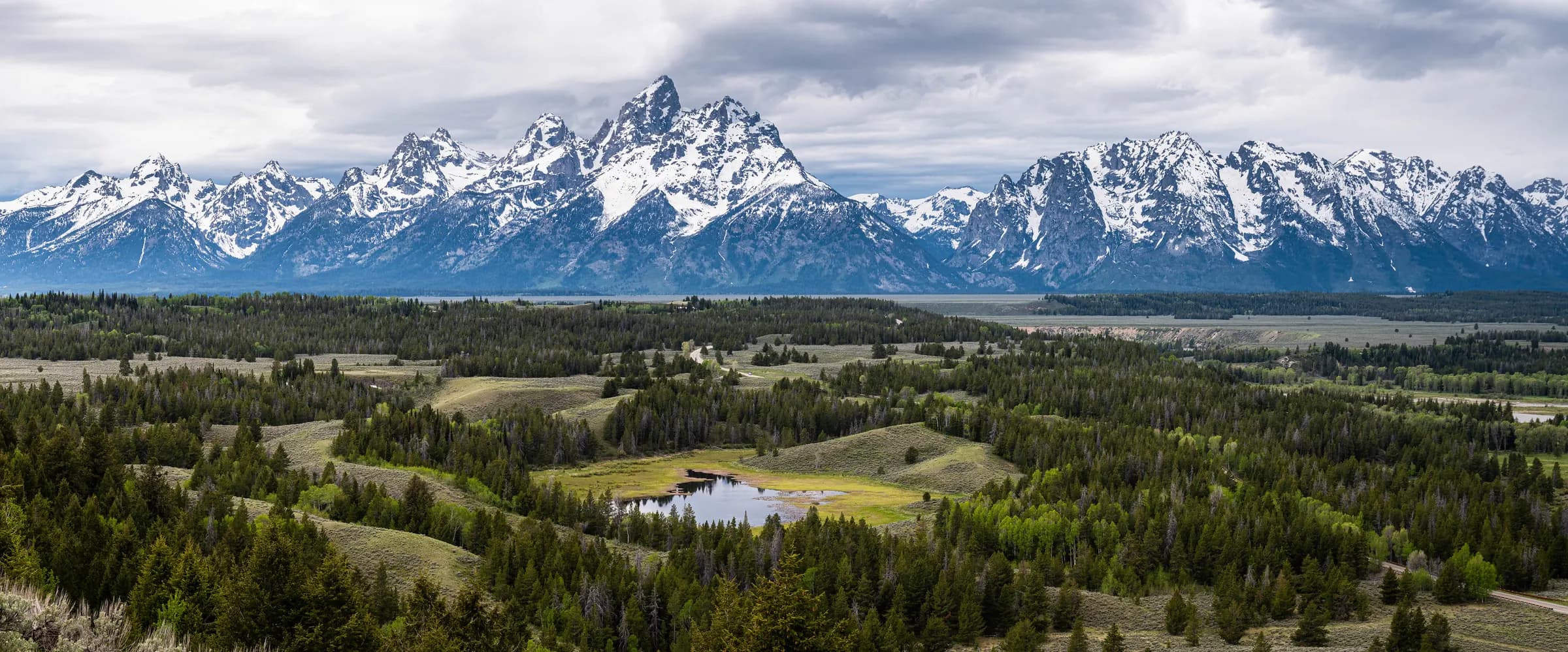
Turn Your Webcam Into Something People Explore
We map what your camera can actually see — the peaks, lakes, landmarks and terrain — then turn that view into something your visitors can identify, map and explore. It’s called a viewshed, and we build one for your camera from federal survey data.
Built by geographers using authoritative U.S. mapping and survey data
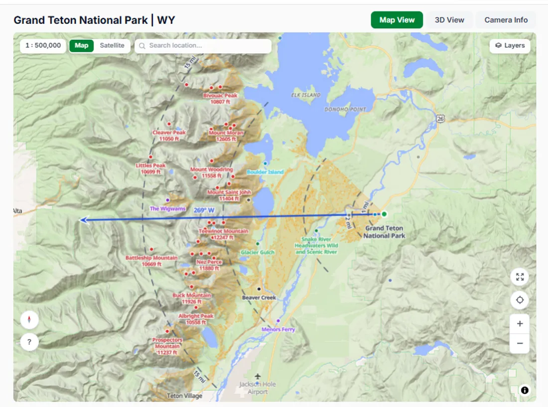
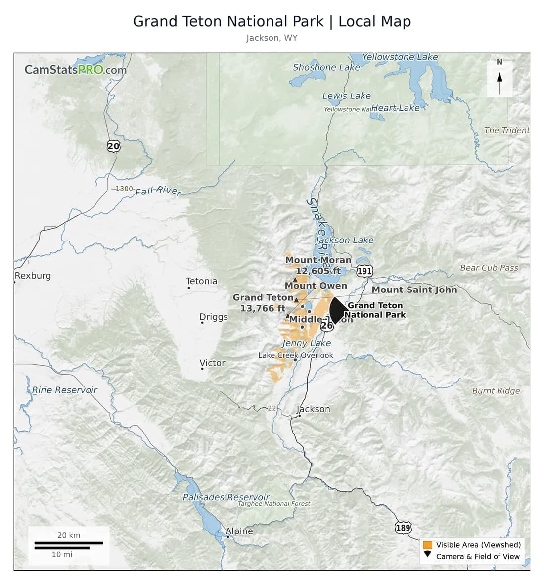
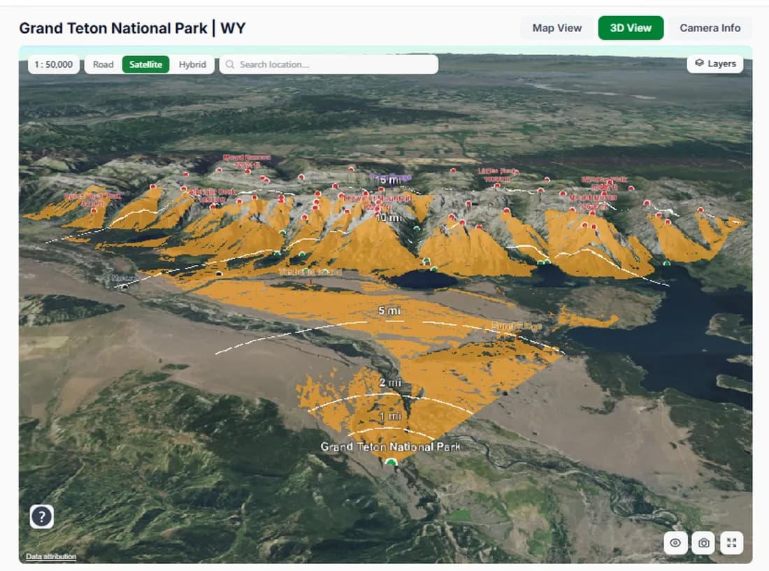
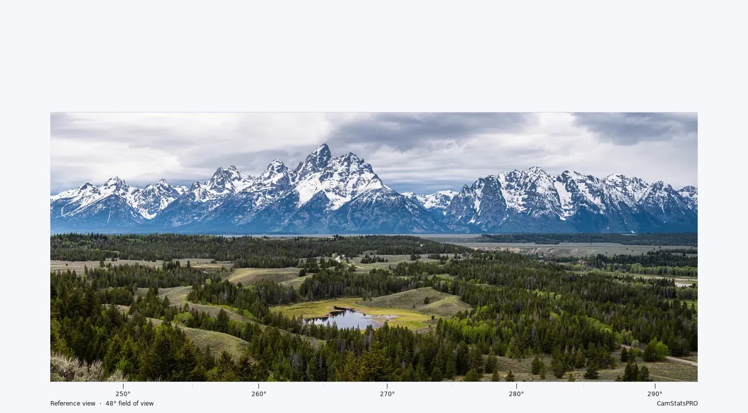
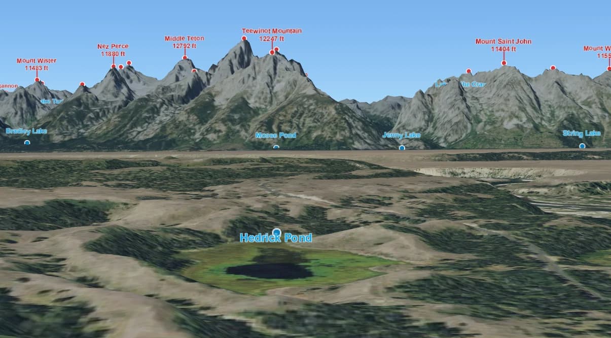
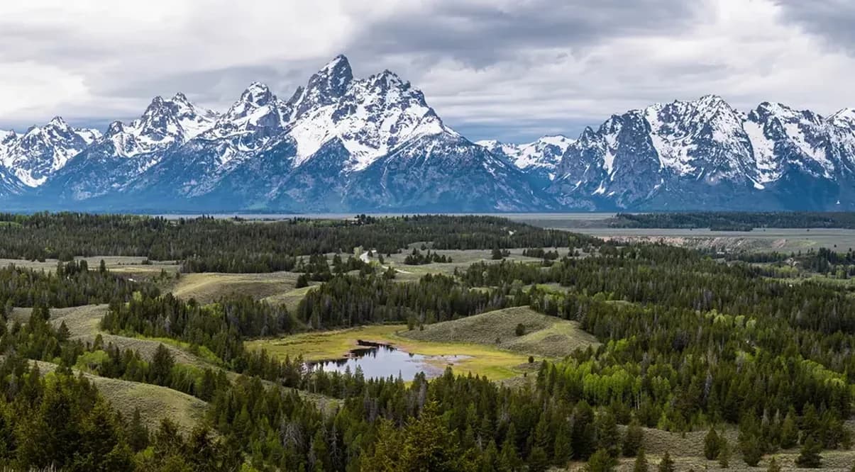
The same view with three different contexts
Give your viewers more to discover in the view you already provide.
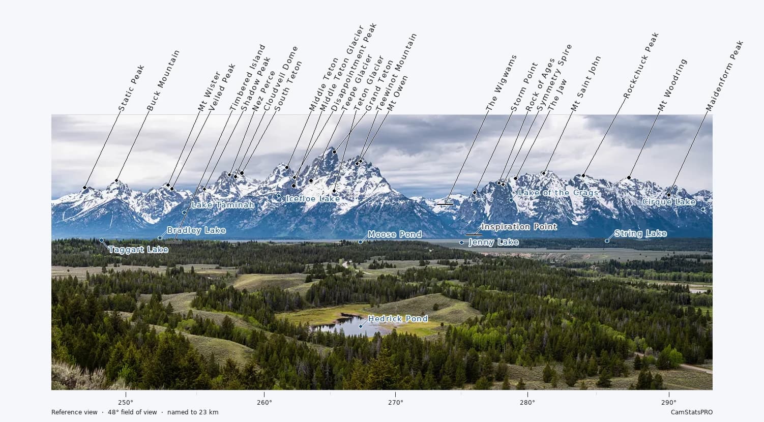
1. Show viewers exactly what they’re looking at
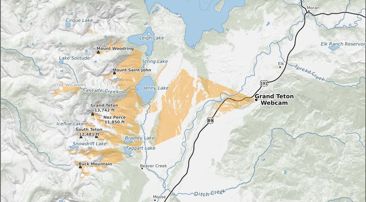
2. See the camera’s entire view on a map

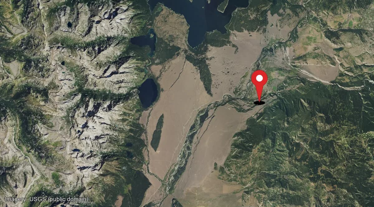
3. Let viewers explore the landscape in 3D
How it works
Show us your camera
Location. Direction. Height. The basic facts we need about the view.
We analyze what it can actually see
Terrain, visibility, landmarks, water, roads, buildings, vegetation—the geographic work happens here.
Use the results
Put the maps and graphics on your existing site, or let us host the interactive experience for you.
One camera. Everything we build from it.
CamStats comes in three plans. Survey gives you finished maps, images, reports, media and GIS files to download and use on your own site. Live Survey adds hosted interactive 2D and 3D views. Enterprise connects multiple cameras through one camera overview map.
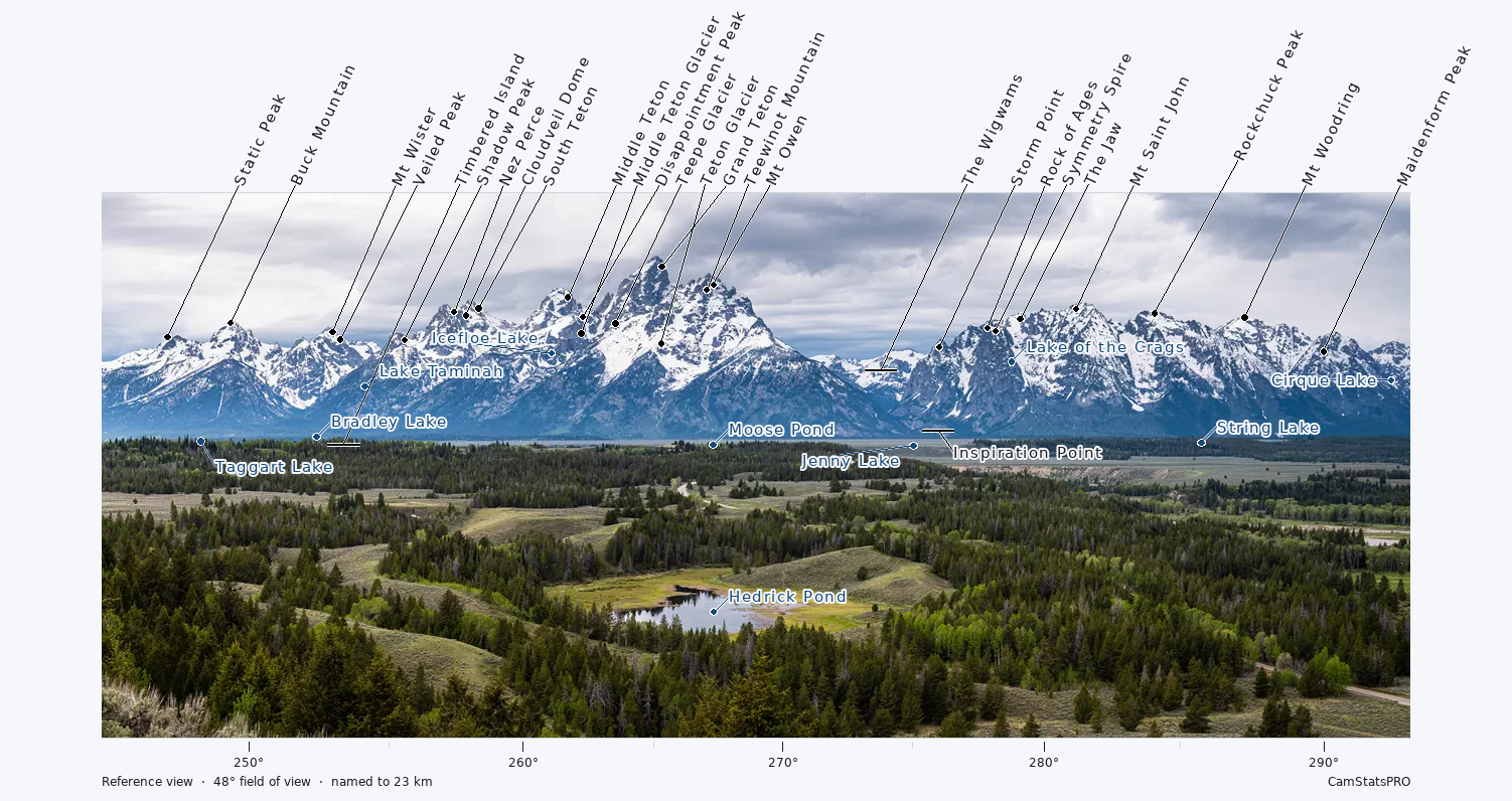
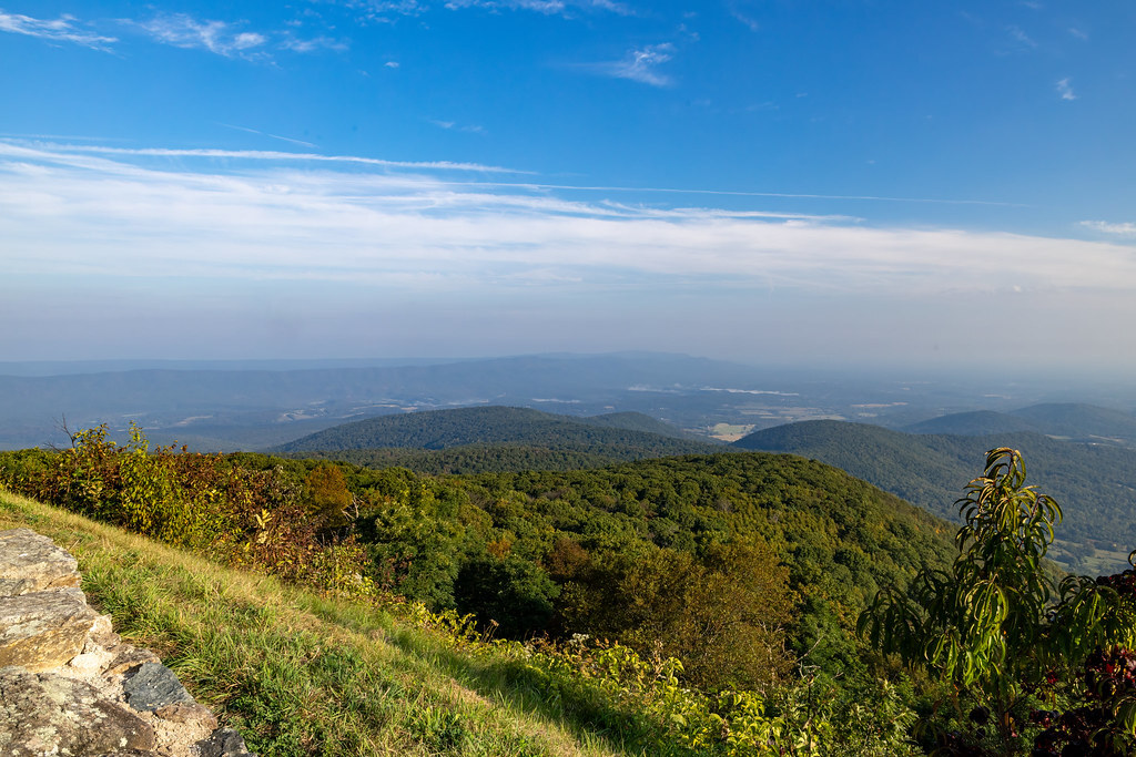
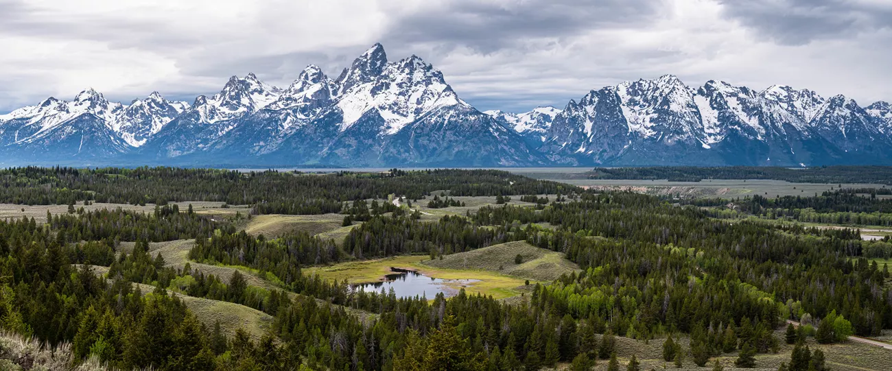
Labeled Camera View
Peaks, lakes and landmarks identified directly in the camera view.
Yours to Keep
Survey
- Labeled Camera View
- Viewshed Maps
- Panorama Diagrams
- Reports, Media & Data
Put it Live
Live Survey
- Interactive 2D Map
- Interactive 3D Terrain
Connect Your Cameras
Enterprise
- Camera Overview Map
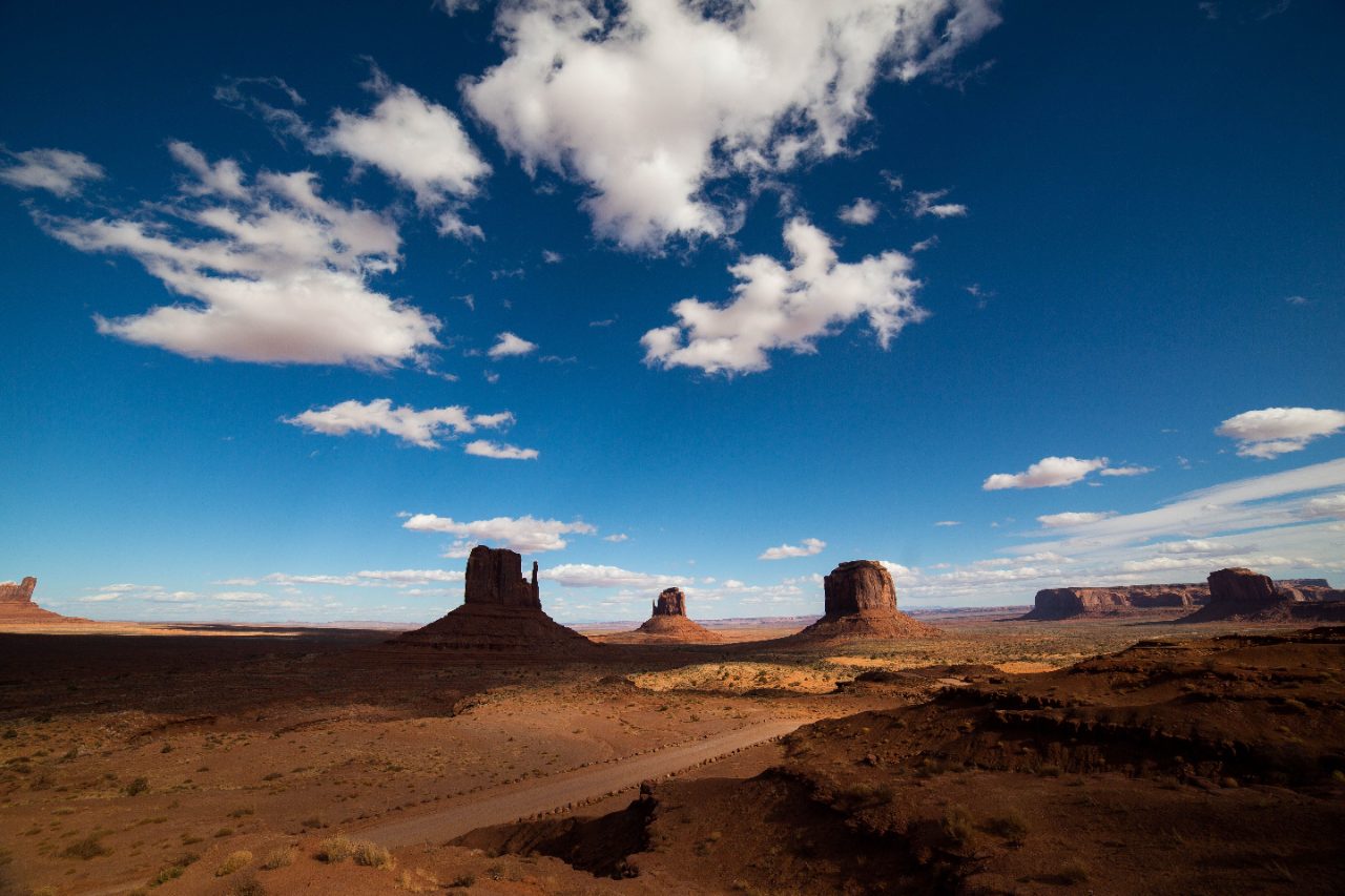
One camera, or a network of them
The same geographic analysis, packaged for how you use it—from downloadable results for one camera to hosted interactive views and multi-camera networks.
One camera, on your own website
Survey
Finished maps, graphics, reports and GIS files, yours to keep and use on your own website or in your own work.
$15 one-time
- Labeled Camera View
- Viewshed Maps at Six Scales
- Panorama Diagrams
- Written Descriptions of the View
- Webcam Siting Report (PDF)
- GIS Files (KMZ + GeoJSON)
- Customer Portal
One camera, hosted for you
Live Survey
We host the interactive 2D map and 3D terrain viewer. Add one link to your webcam site and let visitors explore.
$25 / month
Everything in the Survey plan, plus:
- Public/Shareable Project Page
- Hosted Interactive 2D Map
- Hosted Interactive 3D Terrain Map
Multiple cameras, one overview
Enterprise
Bring multiple cameras together in one Overview Map, showing where each camera is and what each one can see.
+$40 / month
On top of your Survey and/or Live Survey cameras.
Everything in the Live Survey plan, plus:
- Interactive Camera Overview Map
Not sure which fits? Compare every plan →
See it before you decide.
Check the view before you climb. Drop a pin, pick a direction, and see the terrain your camera would cover — before you buy a bracket or choose a mounting spot.Under a minute. No sign-up. No install.
Every webcam is pointed at something worth understanding. We tell your viewers what it is.